Get Latitude and Longitude with Google Maps
1. Navigate to Google Maps
2. Use the map to scroll and zoom to the position you'd like to simulate.
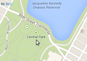
For example, say we wanted to simulate the location of a person standing in Central Park in New York city. We'd scroll and zoom to that spot on the map:
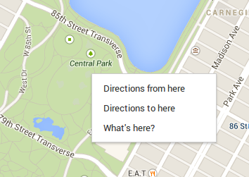
3. Right click on the exact position of your choice, then click the What's here? option:
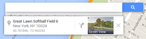
4. Take note of the generated latitude and longitude coordinates near the search bar: